Duck Brook Bridge and Quarry
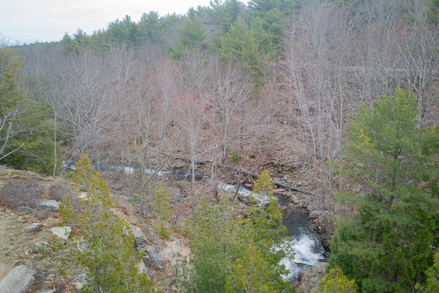
I’m back in Bar Harbor this week, and as could be expected for Bar Harbor in late April, the weather is variable. The past two days have been beautiful, but starting today, the weather taken a turn towards colder and greyer. Before the rain and snow (!!) came, my dad and I did one last walk, around Witch Hole Pond via Duck Brook Bridge.
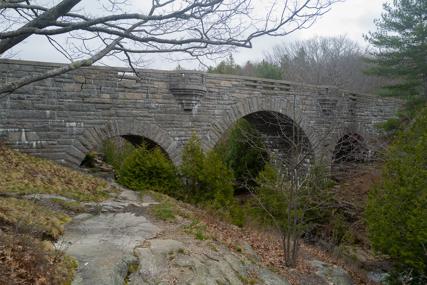
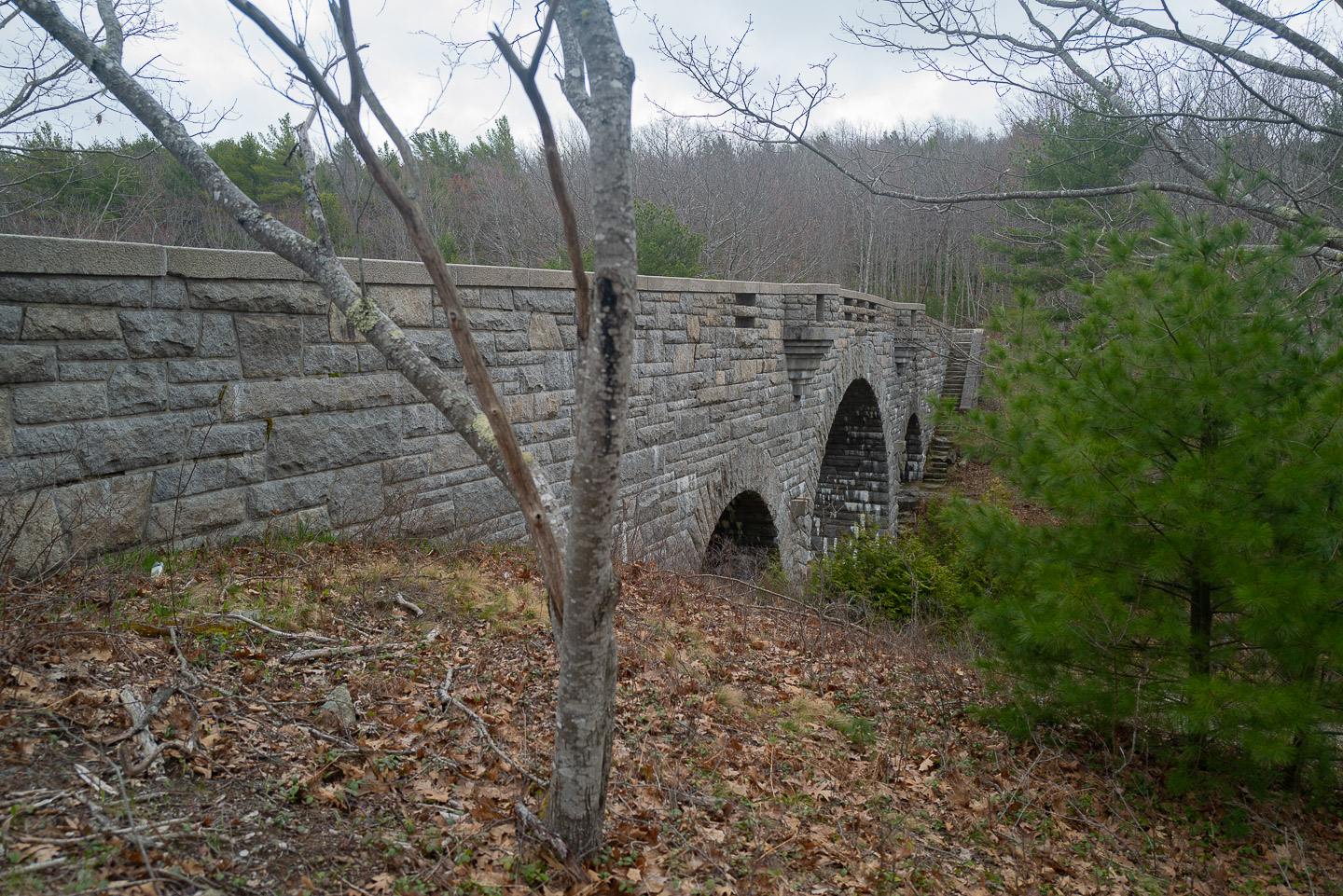
Duck Brook Bridge is one of the most impressive bridges in the carriage road system. It’s a graceful bridge, with three arches over the epynomous Duck Brook. Although structurally, the bridge is actually re-enforced concrete, it’s covered in local granite, making it feel like a part of the landscape rather than a built structure. 1
As part of the walk, my dad took me off-trail for a few hundred feet to what looked like an old quarry. He had found in on a previous walk, but wasn’t entirely sure if it was a quarry, or a natural formation.
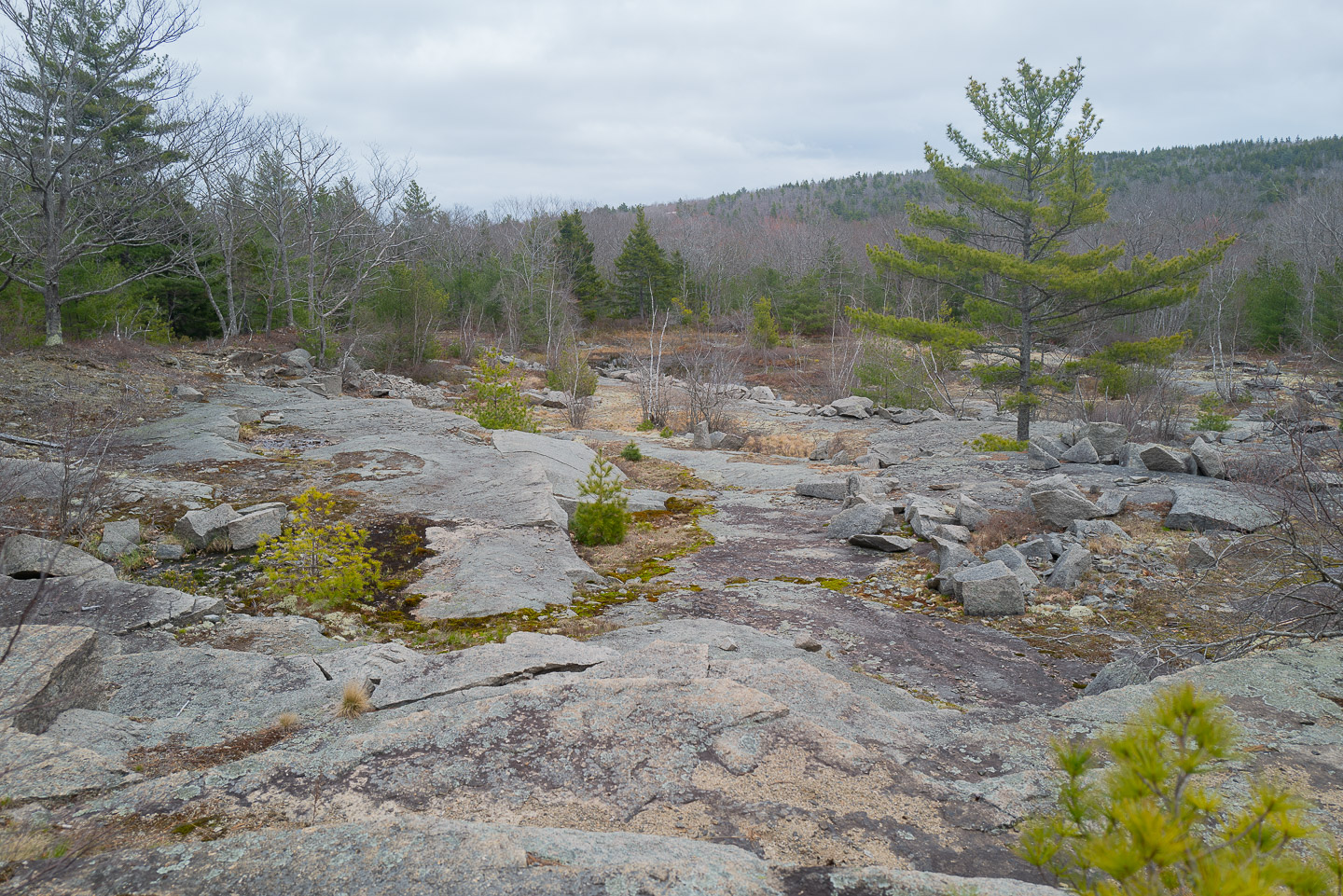
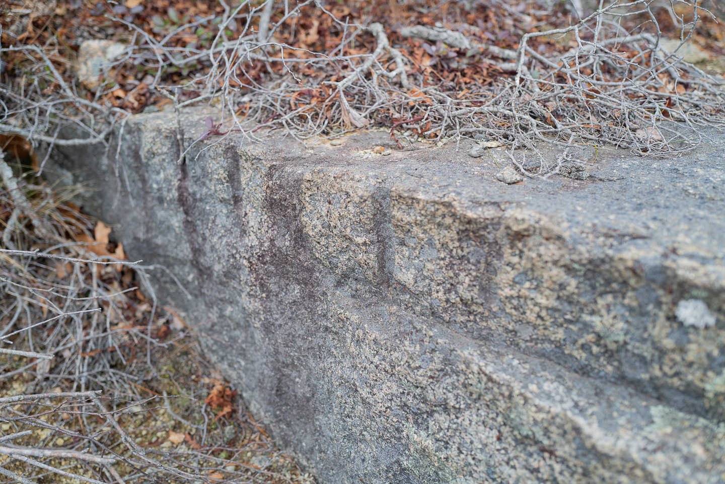
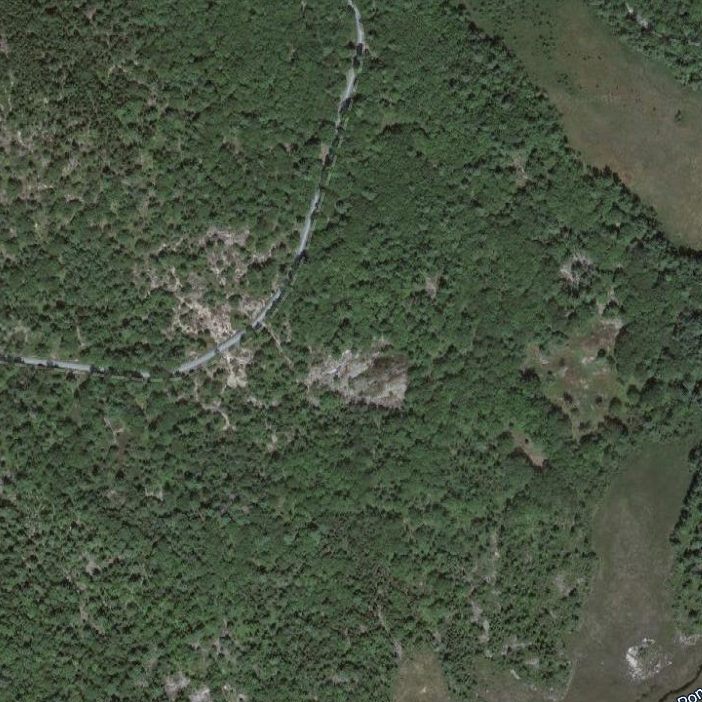
As I wandered around, I quickly found the relics of human efforts: blocks of granite that had drill marks on them. I’m not entirely sure how granite is mined, but these were not in any way natural. Although the area hadn’t been worked in quite a long time, the area is clearly visible from satellite images.
When I got home, I decided to look into the history of the site. I started with historical maps from the USGS. The early maps (1904 base data) didn’t have the quarry marked at all. However, in the 1942 base data, the quarry was marked on the maps, and it continued to be marked in the 1956 update. However, it disappeared by the 1982 map.
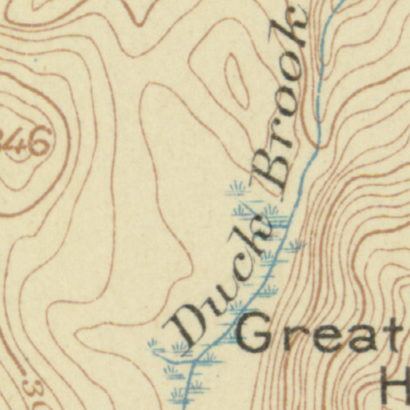
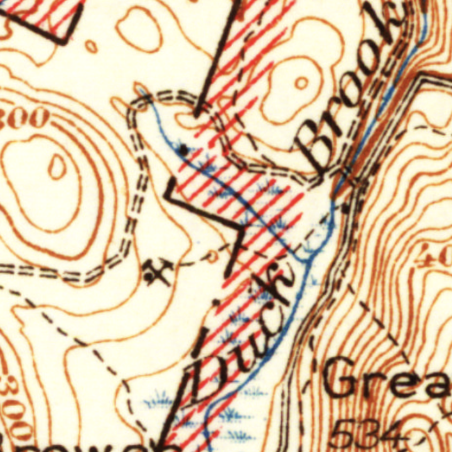
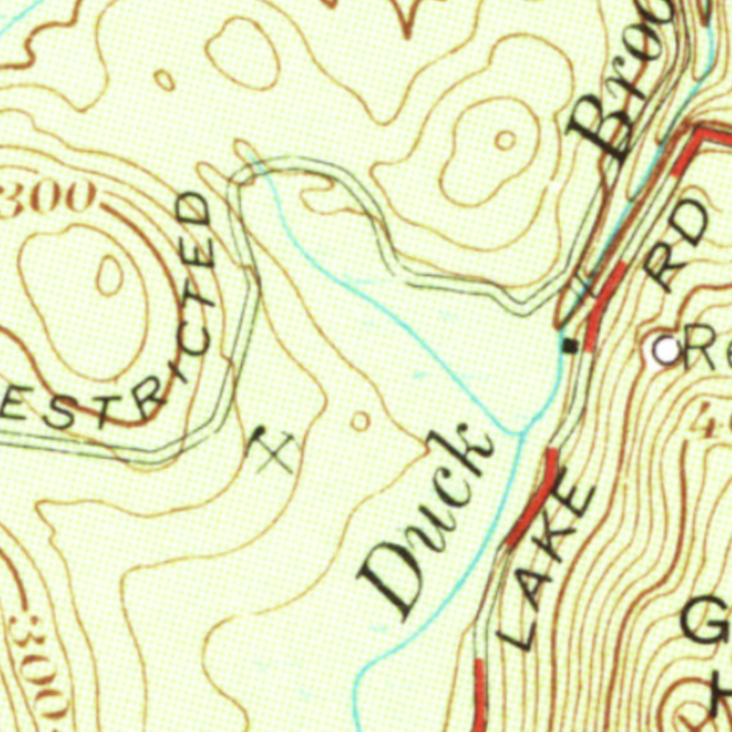
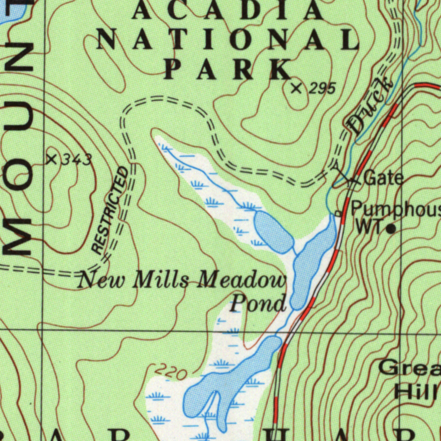
Although I’m not certain, I’m pretty sure that this land was part of Acadia National Park by at least 1940, which means that if it were an active quarry earlier, workings had stopped by the 1942 map. It seems reasonable that enough relics were left over in 1956 to continue showing it on the map, but probably by 1982, it was in a state similar to what it is today: once a quarry, but now long-abdandoned.
The question both Dad and I had was what was the quarry used for? I wondered if it was the source of the granite for the Duck Brook bridge. In an evening’s worth of research, I couldn’t find anything definitive. One source suggests that all the granite came from Hall Quarry on the west side of the island. However, that web page is a little light on footnotes.
On the other hand, there is a surprisingly good history of the carriage trails at the Library of Conrgess. Here, the author says that granite for the the bridges was “generally obtained from nearby ledges or small quarries.” 2 This is all the author discusses about the source of the stone, but given the timing and location of the quarry, I think it’s pretty plausible that Duck Brook Bridge (and possibly the road bridge as well) was dressed with stone from this quarry.
On a closing note, I’ll point out that Duck Brook Bridge cost less ($83,746) than many Teslas cost today. However, that was 1939; the inflation-adjusted price is $1.7M, which sill seems surprisingly cheap. It also seems like a big part of the cost was likely labor; the skilled stone masons employeed to dress the granite were being paid $10.50 a day in 1933, which pencils out to about $56K per year in 2022 dollars. 3 However the stone masons were also expected to bring their own tools. These cost about $100, or today, a little over $2.2K.